High-Andean reserves
Best when your targets are mountain hummingbirds and upper-montane species. Quito may be the more efficient starting point.
Compare 17 high-Andean, cloud-forest, foothill and lowland Chocó birding sites from one planning page, then use the child guides for detailed birds, access, eBird links and verified maps.

Mindo is not one birding habitat, so there is no single “best” reserve for every traveler. The strongest plan usually combines sites by elevation, target birds, photography style and transfer time. This hub compares 17 reserve and birding-site guides so you can choose a realistic route rather than simply collecting names.
Best when your targets are mountain hummingbirds and upper-montane species. Quito may be the more efficient starting point.
The core Mindo experience: hummingbirds, toucans, tanagers, antpittas, leks, feeders and forest trails.
Longer transfers, but a different bird community that can dramatically increase trip diversity.
Base in Mindo
Best for route density
Mindo is usually the stronger base for cloud-forest, western-slope, feeder, lek and nearby photography sites.
Start from Quito
Useful for high Andes
Quito can reduce backtracking for high-elevation reserves such as Zuro Loma or Yanacocha before you descend toward Mindo.
Times and distances vary with pickup point, Quito traffic, weather, road work and the final access road. “Verify route” means the child page intentionally does not publish an unsupported exact time.
| Reserve / site | Habitat | From Mindo | From Quito | Photography |
|---|---|---|---|---|
| Zuro Loma Reserve | Upper montane cloud forest | ~1.5 hr | ~60-90 min | High |
| Yanacocha Reserve | High-Andean forest | Route dependent | Closer to Quito | Medium-High |
| Refugio Paz de las Aves | Cloud forest | Nearby western-Andes transfer | ~2 hr | High |
| Milpe Bird Sanctuary | Lower cloud forest | ~15-30 min | ~1.5 hr | High |
| Bellavista Cloud Forest Reserve | Upper cloud forest | ~45 min | ~1 hr 45 min | High |
| Mashpi-Amagusa Reserve | Chocó foothills | ~1.5-2 hr | ~3 hr | High |
| Río Silanche Bird Sanctuary | Lowland Chocó | ~1.5 hr | ~3 hr | Medium-High |
| 23 de Julio Birding Site | Western-Andes corridor | ~1.5 hr | Verify route | Variable |
| Las Cotingas Reserve | Cloud forest + feeders | ~20-60 min range | Verify route | High |
| Balcón Tumpiki | Cloud forest + feeders | Verify route | Verify route | High |
| El Canto del Dios Te De | Cloud forest | <1 hr guide estimate | Verify route | Medium |
| San Tadeo Birding | Cloud forest + feeders | Close to Mindo | Verify route | High |
| Frutti Tour Birdwatching | Foothill Chocó | ~50 km / about 1 hr | ~125 km | High |
| Finca La Victoriana | Forest + lek | Verify route | Verify route | High |
| Sachaguatusa Reserve | Lower Chocó foothills | Verify route | Verify route | High |
| Roca Mía Nature Reserve | Cloud forest + river | 8 km | ~2-2.5 hr + local access | High |
| Sendero de las Aves | Cloud forest trail corridor | ~10 min | ~2-2.5 hr + local approach | Medium |
Times and distances vary with pickup point, Quito traffic, weather, road work and the final access road. “Verify route” means the child page intentionally does not publish an unsupported exact time.
This hub does not invent reserve coordinates or fake a multi-pin map. Exact verified locations belong on the child pages.
Start with Zuro Loma or Yanacocha when mountain hummingbirds and upper-Andean habitat matter most.
Paz de las Aves is the strongest classic target-bird experience; Roca Mía and La Victoriana add focused lek possibilities.
Las Cotingas, San Tadeo, Mashpi-Amagusa, Frutti Tour and Balcón Tumpiki can be strong choices depending on elevation.
Río Silanche adds tower-based canopy birding and a distinctly lower-elevation community.
Mashpi-Amagusa, Sachaguatusa and Frutti Tour help move beyond the central Mindo cloud-forest set.
Sendero de las Aves and smaller local sites can fit well when you want a less intensive route.
Start near Quito at Zuro Loma or Yanacocha, then descend toward Mindo for a second habitat band.
Use Paz de las Aves for early target birding, then add a feeder/photo stop closer to Mindo.
Combine Las Cotingas or San Tadeo with Roca Mía for feeders plus lek/river habitat.
Pair Milpe with Río Silanche or Frutti Tour when you want lower-elevation species beyond central Mindo.
Use Mashpi-Amagusa and a complementary Mashpi-area stop such as Sachaguatusa when route conditions allow.
Choose one near-Mindo feeder/viewpoint site plus a forest trail instead of losing prime birding time to long transfers.
VERIFIED Reserve details have been confirmed directly by the reserve with Mindo Bird Watching.
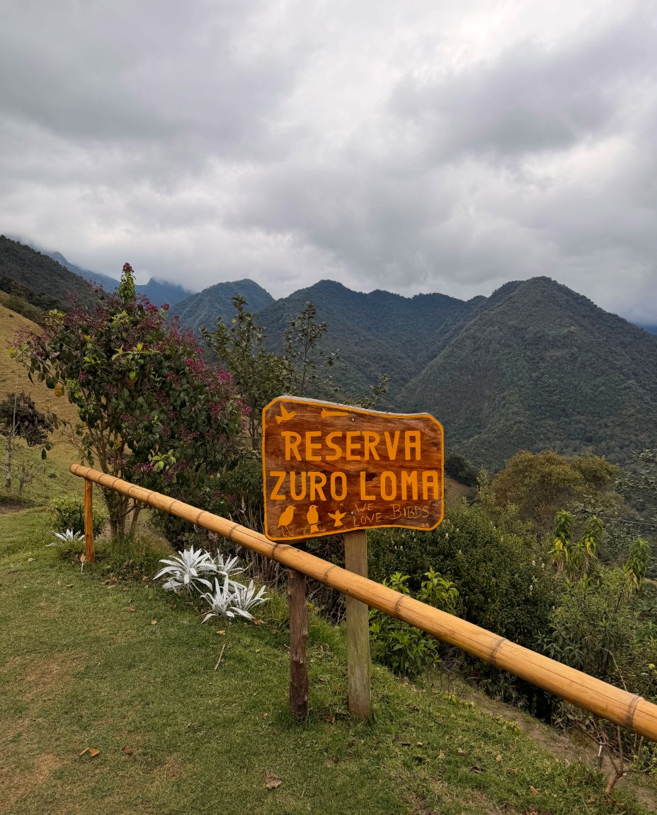
High-Andean hummingbirds, antpittas and mountain-forest photography at roughly 3,200-3,400 m.
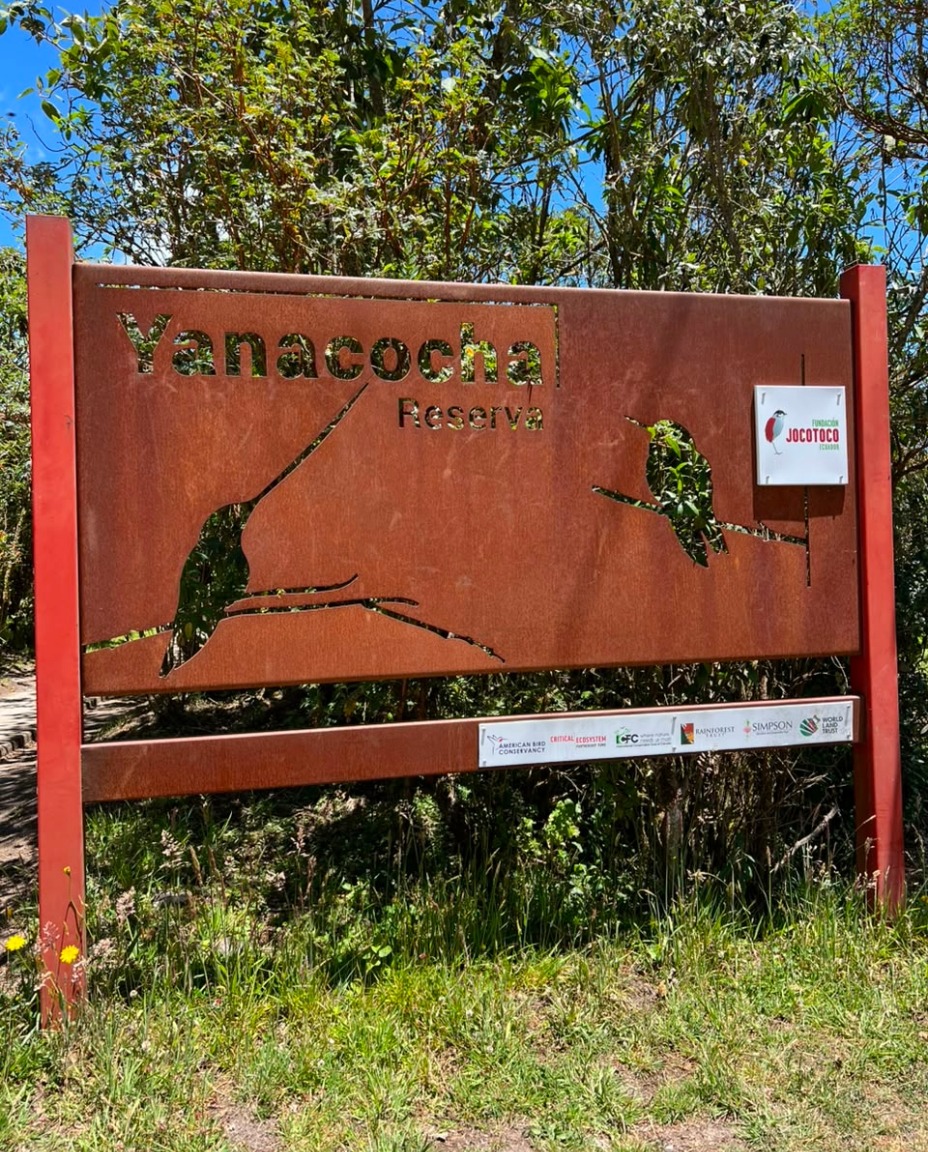
High-elevation Andean forest and hummingbird habitat on the western slopes near Quito.
Antpittas, Andean Cock-of-the-Rock and guided early-morning cloud-forest birding near Nanegalito.
Lower western-slope forest, manakin activity and Chocó specialties around 1,050-1,150 m.
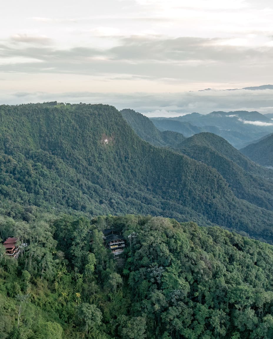

Cool upper cloud forest with mountain toucans, hummingbirds, trails and strong mixed-flock potential.
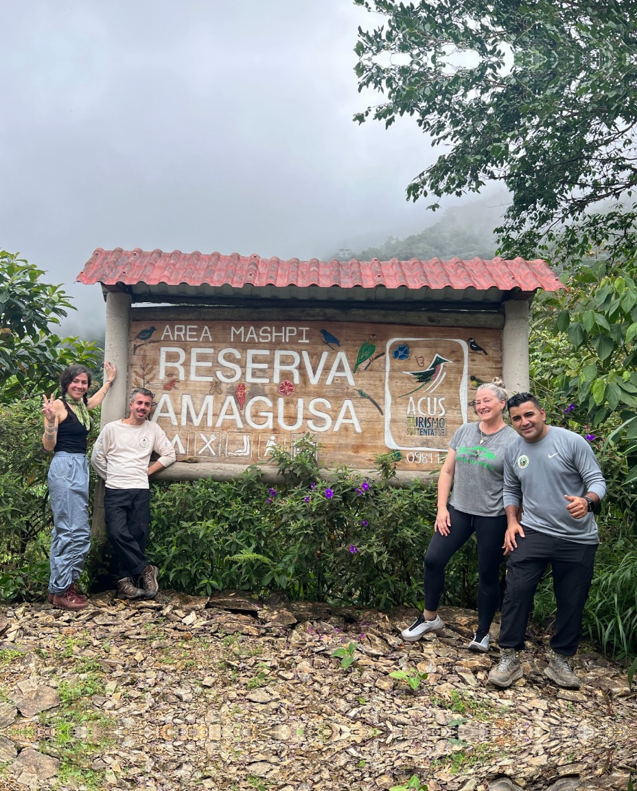
Lower, wetter Chocó foothill birding with localized tanagers, hummingbirds and feeder photography.
Lowland Chocó forest, canopy-tower birding and lower-elevation specialties around 325-410 m.
Guide-led western-Andes birding option with limited public information; route and current access should be confirmed.
Feeder-rich cloud-forest stop near Mindo with strong hummingbird, tanager and toucan photography potential.
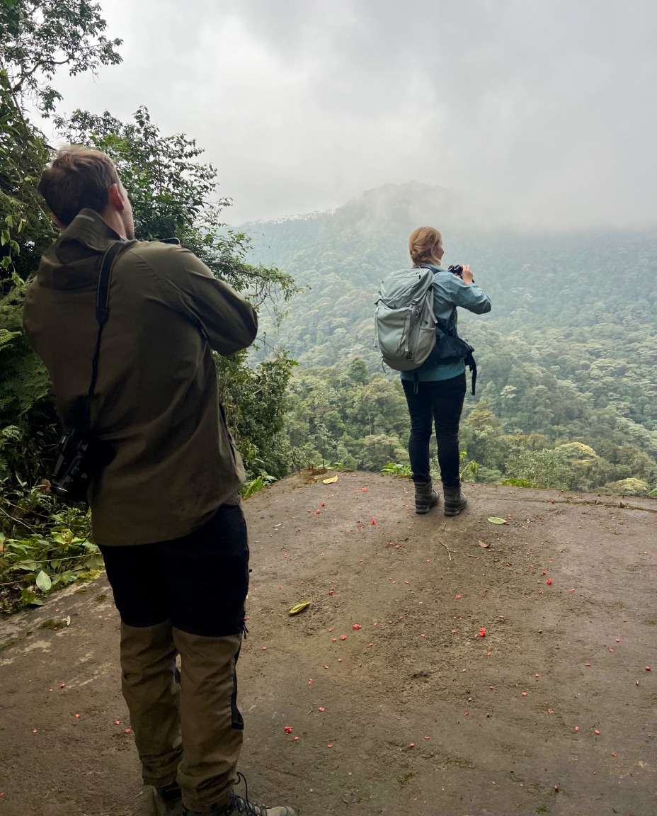
Nanegalito birding site with feeders, trails and strong photography value for western-Andean species.
Small private conservation/birding property near Mindo reported for toucans and Cock-of-the-Rock activity.
Compact feeder-based birding near Mindo, especially useful for hummingbirds and close-range photography.
Lower-elevation feeder birding around Pedro Vicente Maldonado for foothill Chocó birds and photography.
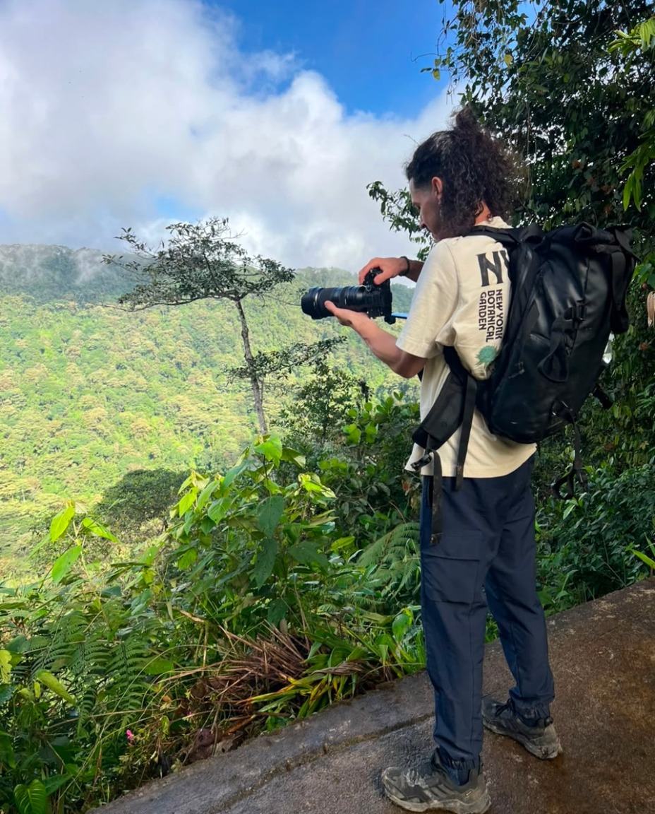
Focused Cock-of-the-Rock lek and forest-hide stop; exact access and current routing should be checked.
Mashpi-area lower-elevation Chocó birding with feeders, tanagers, hummingbirds and toucans.
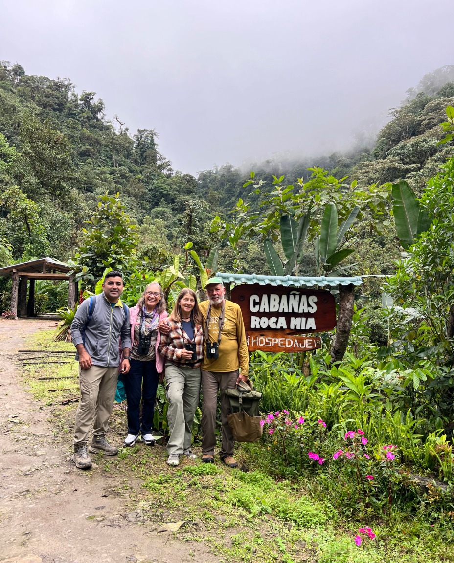
Cloud forest, river habitat, Cock-of-the-Rock lek and hummingbird garden just 8 km from Mindo.
Mixed nature lodging and birding site near the Las Tángaras trail corridor, with a bird viewpoint and quiet cloud-forest setting.
Build a private route around your dates, target birds, photography goals and available time. Combine elevations instead of simply stacking famous names.
Use the Mindo Bird Watching homepage as your starting point, then choose the planning tool that best matches your trip.
Start with habitat and target birds, not just the reserve name. A first-time route often works best when it combines two elevations rather than several similar feeder sites.
Some are only minutes from town, while high-Andean and lower Chocó sites can require much longer transfers. Recheck road, weather and pickup conditions before travel.
Quito can be practical for high-elevation reserves, while Mindo is usually the better base for combining cloud-forest and western-slope sites.
Feeder-focused sites can be especially productive, while lek, river, tower and trail sites add behavior and habitat photography.
Not for every site, but a guide becomes much more valuable with target birds, limited time, changing access or multi-elevation routing.
Yes, when geography and elevation make sense. The best combinations minimize backtracking and protect the strongest birding hours.
Share your dates, target birds, photography goals and available time. We can choose the elevations and reserve combinations that make sense for your trip.